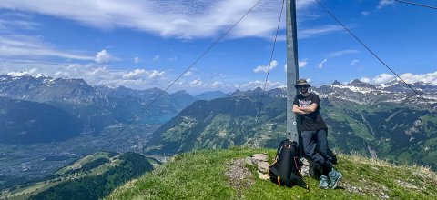
The Wängihorn (2148 m above sea level) towers high above the Uri valley floor and promises a beautiful climb with a spectacular panoramic flight!
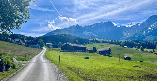
We let the cable car carry us comfortably for the first 600 meters of altitude from Schattdorf to Haldi. As soon as we reach the mountain station, our destination is already in sight and we follow the narrow road for half a kilometer in an easterly direction. At a stable pace with numerous signposts, we turn left and continue on our way. The hiking trail, which leads us through picturesque forests, over flowering meadows and small roads, has a moderate incline. Again and again we catch a glimpse of the striking peak of the Wängihorn, which comes a little closer to us with every step.
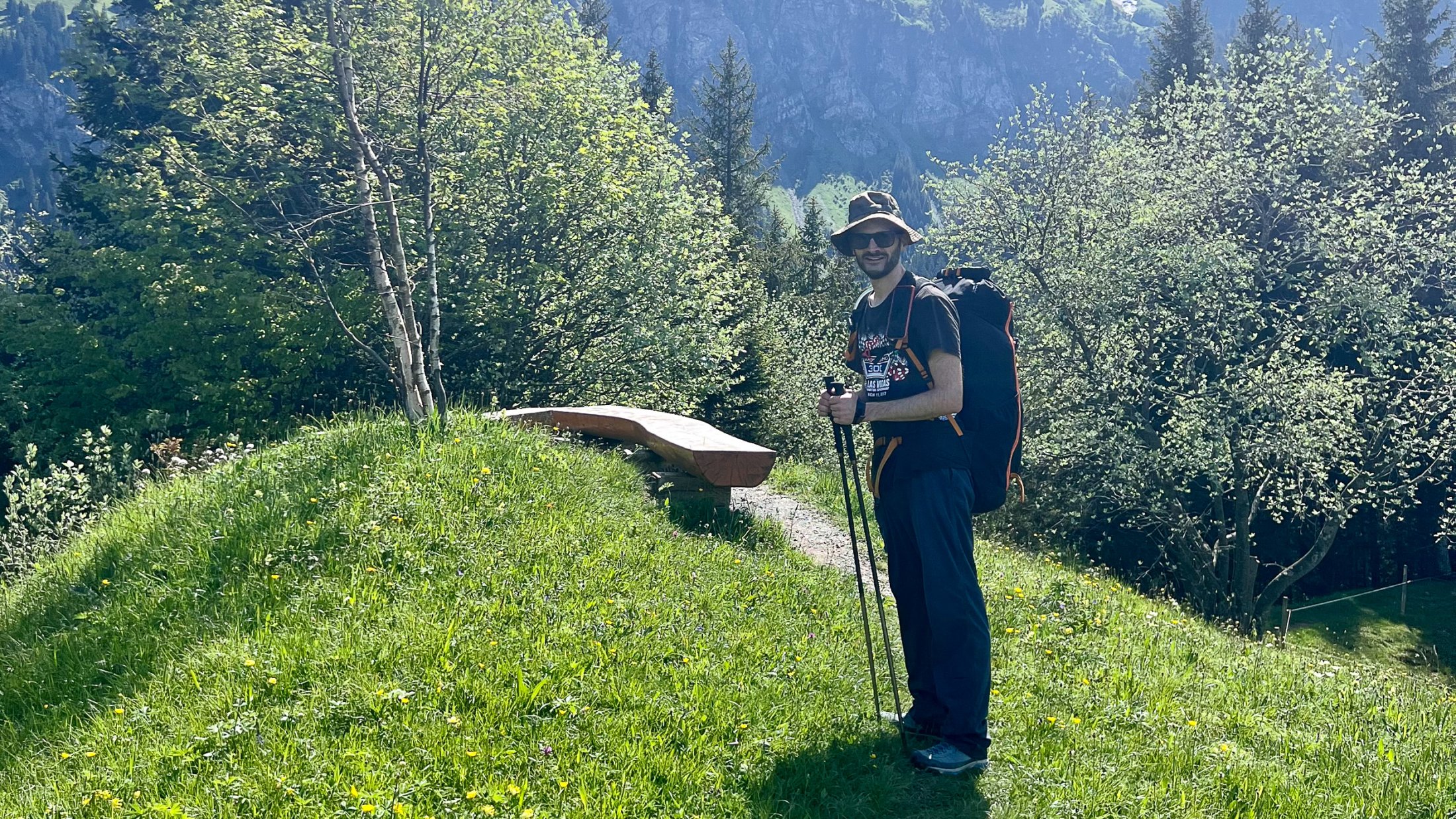
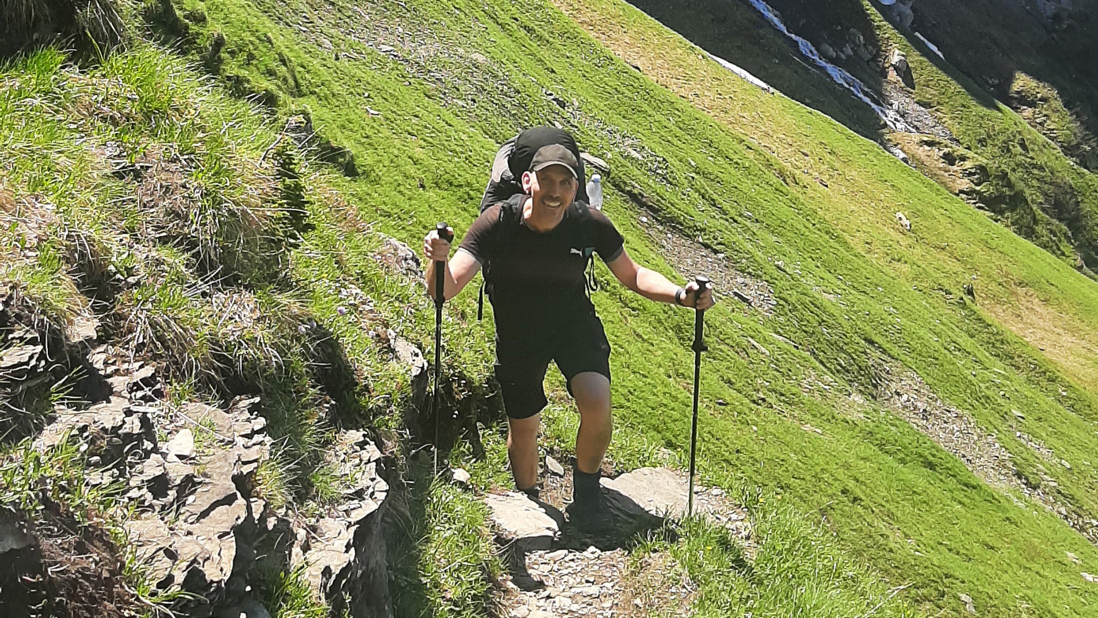
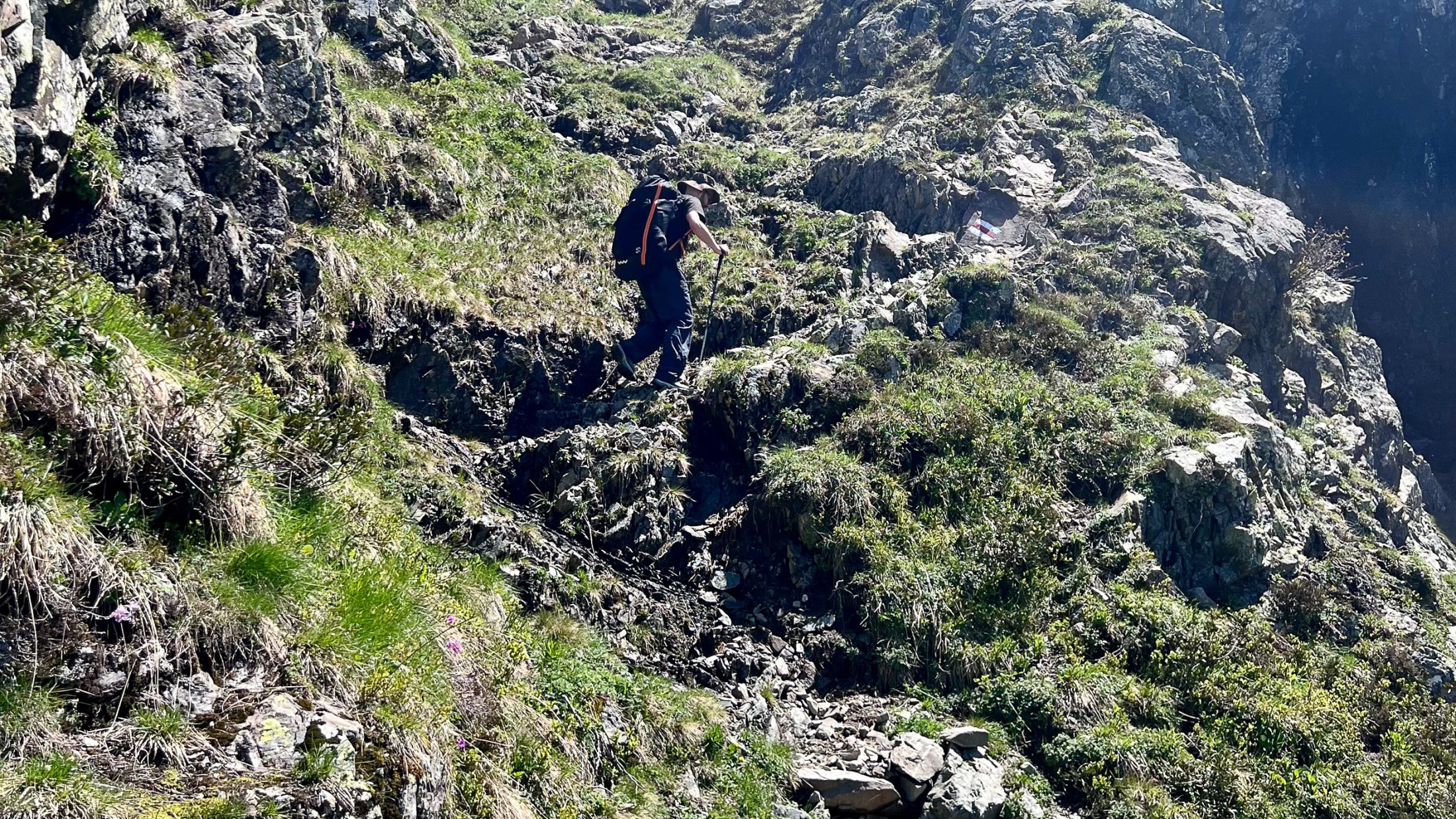
Shortly after the last mountain huts in the "Oberes Oberfeld" we turn left into the Pfaffenwald. Here the path becomes steeper and the right path is not always immediately recognizable. So it is important to keep your eyes open for the white-red-white markings! Above the tree line the path becomes clearer again, but remains challenging.
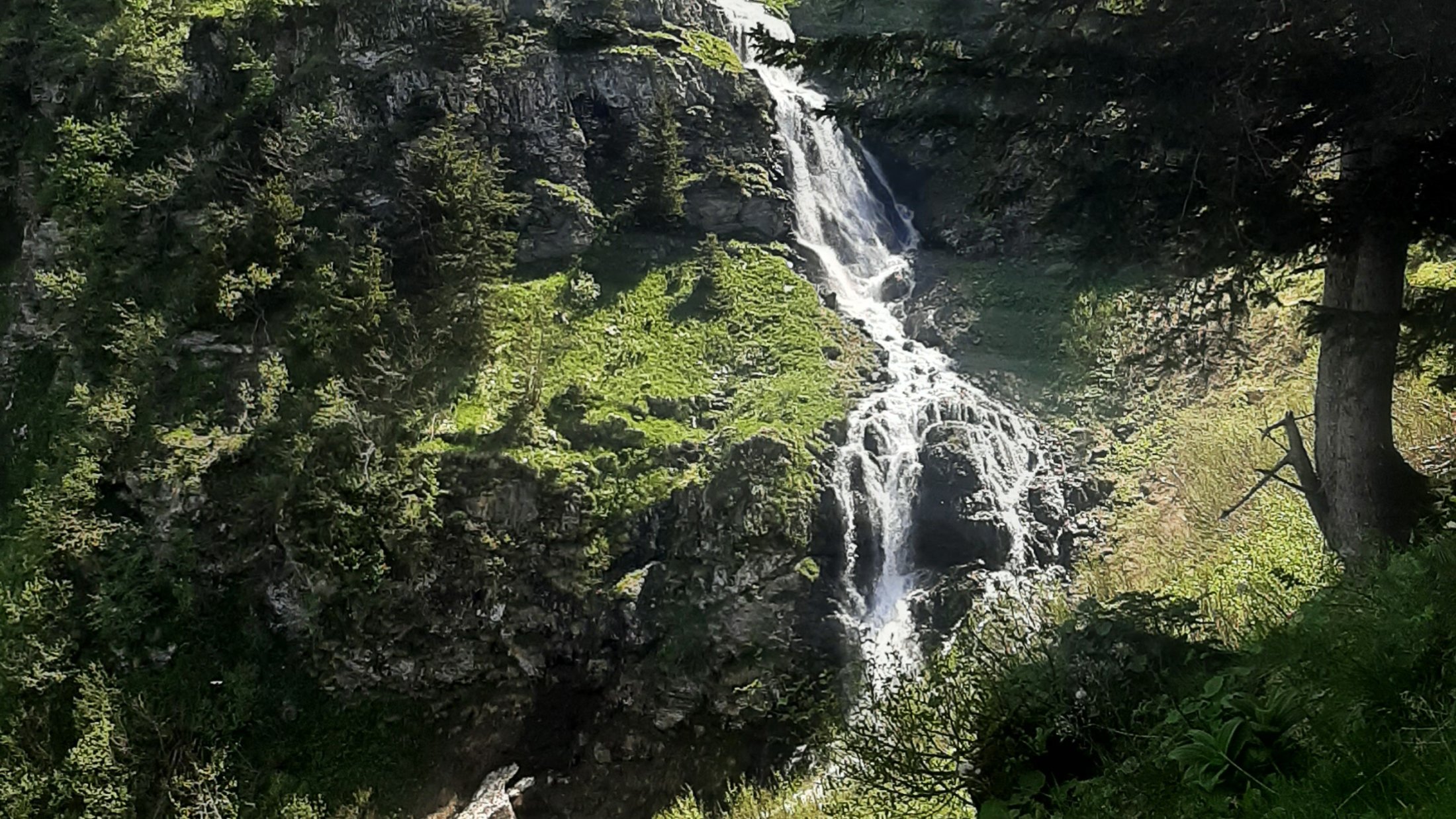
At an altitude of 1800 meters we come across a rushing stream, which presents us with a small challenge. The heavy rain of the last few days and the melting snowfield above us (it is the beginning of June) mean that we are standing there with wet socks after crossing the stream. We take a short break to try and dry our feet a little. The last section of the climb remains steep and has an alpine character in places. A certain amount of surefootedness is required here. The climb may be tough, but the effort is rewarded with a breathtaking view of the Uri mountains. Just a few meters below the starting point, a perfect meadow awaits us, which is ideal for starting when there is a westerly wind.